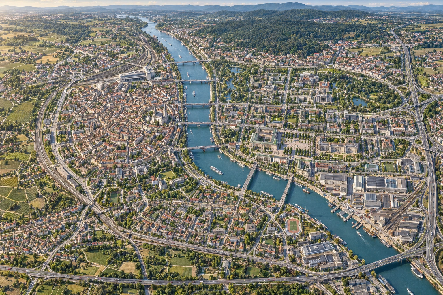
Follow the valleys of Silver Ridge south through Valzburg's bridges and squares to the coast of Warm Bay. Explore the landscape, roads and everyday life of its towns.
01 / TERRAIN, STREETS & CITY
From a country to a street corner.
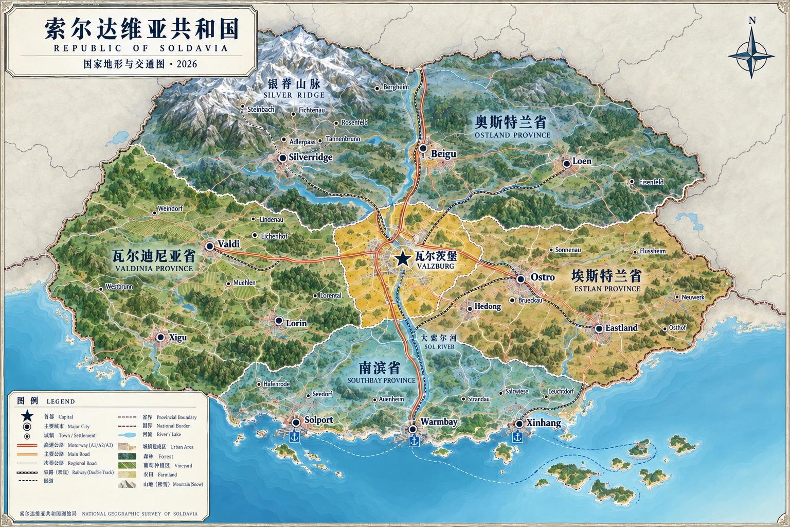
Terrain and transport maps, capital streets and an aerial city view reveal the same fictional country at different scales.
2026National & City Atlas
National Terrain & Transport Map
Mountains, plains, coast and town transport networks. Town markers show approximate positions on the image.
Use + / − to zoom; drag the enlarged map to pan. Keyboard: + / − to zoom, arrow keys to pan, 0 to reset. Select a town below to locate it on the national map.
A1 Mountain-to-Sea Route
North Valley—Valzburg—Warm Bay Connects northern valleys, the capital and the southern river mouth.
A2 East–West Federal Route
Valdi—Valzburg—Ostro Connects western vineyards with the eastern industrial corridor.
A3 Warm Bay Coastal Route
Solport—Warm Bay—New Harbor Connects fishing villages, coastal communities and ports.
02 / TOWNS & COUNTRYSIDE
Every side road has a name.
24 towns across four federal provinces, from forestry settlements near northern passes to fishing villages and lighthouses on Warm Bay.
24New fictional towns
Showing 24 / 24 towns
No matching towns. Try another keyword or province.
This atlas depicts a fictional country. Towns, branch-road numbers and city neighborhoods are additions to its setting. Image labels may contain typographic inaccuracies; refer to the town directory and administrative profiles. The maps are artistic illustrations and do not provide real navigation or a precise survey scale.